Friday, December 5, 2014

BLM Contact Information RMP

Please contact the Southern Nevada BLM office and request, if nothing else, at least a 1 year extension of time to the RMP

Email: SNDO_RMP_Revision@blm.gov

I would also suggest contacting your congressional representatives and asking them to tell the BLM that they need to reevaluate their RMP and come up with alternatives that fit with the values of the people who enjoy and recreate on public lands.


Lee Kirk, Planning and Environmental Coordinator for the Las Vegas Field Office, is the primary public contact for the Resource Management Plan Revision (RMP) and leads the interdisciplinary team that is developing the RMP and Environmental Impact Statement (EIS). 


Gayle Marrs-Smith is the Field Manager for the Las Vegas Field Office, which manages public lands in Clark County, NV.

Deborah MacNeill is the Field Manager for the Pahrump Field Office, which manages public lands in southern Nye County, NV.


The above three people are located at the BLM Southern Nevada District Office:
Bureau of Land Management
4701 N. Torrey Pines Dr.
Las Vegas, NV 89130


Telephone: (702) 515-5000
Fax: (702) 515-5023
 
Email: SNDO_RMP_Revision@blm.gov


BLM's RMP Website:


Below is a time lapse the boys and I took today while out and about. It was taken up on Whitney Pass on the Virgin Mountain
 

Thursday, November 27, 2014

Hemmed In


The BLM is once again stirring up a storm. This time it is a bit more muted, while working to fly under the radar with their paper work but nonetheless, dramatic in its long term effects on Clark County.


Living in rural northeast Clark County, public lands are a part of all our lives. All of our communities are surrounded by these lands. Some of us own property that bound public managed land. Some of our livelihoods depend on access to our public lands and all of us depend on utilities to deliver electrical and water services that cross these lands and most of us recreate in one form or another on this government managed land. With so much dependency on these lands it would be assumed that both parties would be thoroughly involved in designing a management plan. However as precedent has proven, this is never the case.


The BLM has released their latest management proposals for the Southern Nevada region. These proposals include changing the status for over 250,000 acres of land.  For residents of the Virgin and Moapa Valleys the impact hits close to home. The Mormon Mesa between the two valleys is greatly impacted, Gold Butte stands to take even further alterations as well as almost every other hill, valley, wash and mesa stands to get some designation or label of one kind or another.


The BLM has asked for the public to comment on their proposal and has given but a short window to do so. The closing date for comments is January 7, 2015. They are not asking for our feelings or how it will impact our lives but critical analysis down to the page and section that we think is faulty or where they have made flawed analysis. The irony of it all is that the document is heavy on fluff and light on substance and actual data to sink your teeth into. They don’t even have decent maps by which the public can scrutinize what is happening in their back yard. 


With the timeline given to review the documents the BLM is in essence saying “trust us”. However this is a hard pill to swallow since all the agency has done since 1976 FLPMA is erode the relationship they once had will the people.


If the BLM doesn't even have the courage and decency to come out to the rural communities that they are hemming in with their latest proposal, then I think there should be and extension of time at least until they can come out and give detailed presentations on their plans with decent maps, the science behind their rationale and how this will directly impact the rural citizens of Clark County and all those who frequent the back country. They have said this proposal has taken them almost six years to produce, well I think at least a year to review the said documents accompanied by presentations to the communities and widely available maps with clear information should be the least they can do.


The BLM’s latest proposal to so narrowly manage our public lands clearly, reveals that this agency is disoriented and adrift, readily succumbing to the political breeze spilling over the Potomac.


Saturday, November 22, 2014

Out and About Sensing - Citizen Science Part II


Since I wrote my last post about my Arduino projects I have learned a lot. I released my first project into the wild the night of the huge rain storm we had in September when north east Clark County experienced some intense flooding. On that weather station, which the boys and I call DRASTIC, I was logging humidity, temperature, light, time and soil moisture.  I was able to make readings for a while and capture some interesting data, however I found out the hard way that my system was not water tight. After about 21 hours of capturing data I shorted out one of the circuits and stopped capturing data.

This is the graph of our sensors the night of the big rain storm. You can see my system biffed it in the morning but we still managed to capture some interesting data.


This was the afternoon after the big flood and there was still a lot of water draining off Mormon Mesa. 


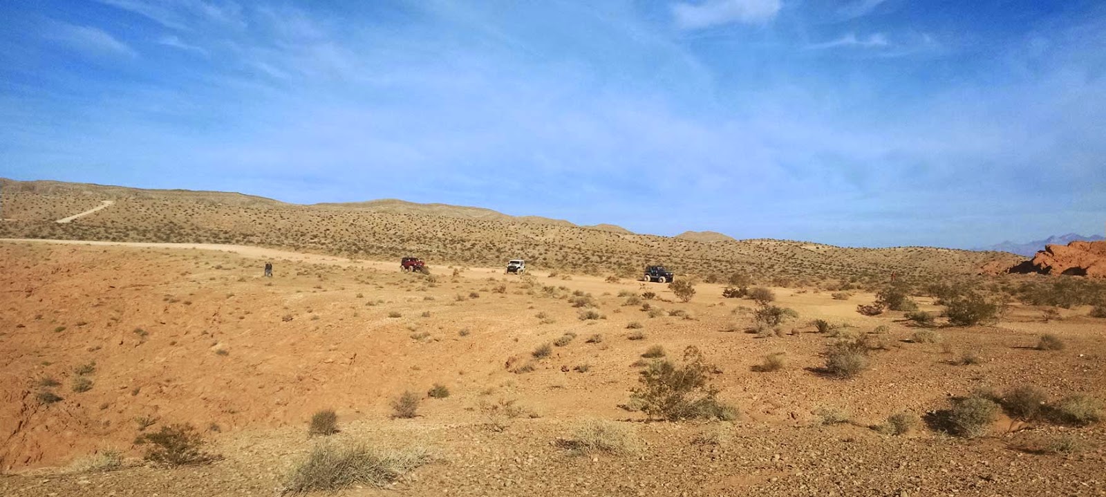
We also found this guy while we were out checking our Arduino system on Mormon Mesa. 


Since that time I have been building and testing more sensors to capture even more data with the Arduino system. One of the sensors that I have built and tested over the last month is a soil temperature monitor that captures data at 3, 6 and 12 inches below the soil.


the boys and I out checking on the system


Another one of the areas I have been experimenting with is utilizing solar panels and rechargeable batteries to power the Arduino system.  I can successfully run the Arduino system of my solar panels and record the data but during the low light and the night I am out of order. Since the nighttime is a time of activity in the desert and the low light conditions like a storm is when I really would like to be capturing data this is less than ideal. Because of this I have tried to wire up rechargeable AA batteries within the electrical system to store the needed energy. So far I have been able to extend the operating life of the Arduino system into the night for a while but I have not yet been able to make it through the night. This setup is still vulnerable through an extended weather even with heavy cloud cover for multiple days so there is still testing and experiments left to go. One of the requirements for my system is that it remains as small, light and cheap as possible. I know through larger batteries I could extend the life but once this system is built it will be deployed out in the hills so I want it to remain small.


Another of the huge breakthroughs that I have been able to make is to run my Arduino system off of AA batteries for an extended period of time. Out of the box the Arduino system will only run for approximately 6 hours off of 4 AA batteries. However through a series of articles on the web and countless hours of testing I was able to tweak the code to shut down the Arduino between readings and wake up on a timer interrupt.  This will be huge. I hope to take this enhancement and tie it together with what I have learned from the solar recharging experiments and tie it together so I can run my device, I hope, indefinitely.


With all that I have learned and built over the last two months I hope to get my Arduino based weather\environmental monitor back out into the wild and start building a repository of data for North Eastern Clark County that I can then use for future experiments and analysis.
 
This is the barometric pressure as registered through our Arduino in mid November. This is one of the sensor we are incorporating into our system 


One of the first projects I hope to do is start collecting data within some of the areas that have experienced wild fires within the Gold Butte region and start assembling the pieces for a larger scale analysis. I will continue to post updates on our projects.


the kids and I out checking on another iteration of our Arduino based weather station


Public Lands Day 2014 - Logandale Trails - Success

Public Lands Day 2014 at Logandale Trails was a success. We had great support from different groups like Vegas Valley 4-wheelers and Dunes and Trails as well as Scout Troops, local citizens, Moapa Valley Rotary Club and others. We had a good flow of people throughout the morning and early afternoon as people were able to come out and support the event. There was a lot of cumulative service hours given and a beautiful day to be out and about enjoying our public lands.


We started at 8:00 AM at the Logandale Trails, Trail-head with doughnuts and juice and a quick introduction and safety overview by Partners-In-Conservation. Then each group went out and performed different service projects. Many contributed to trash clean up around the trail-head and along the main trails within the Logandale Trails system.


After the main cleanup there was a lunch provided by Moapa Valley Rotary Club and a raffle.


Partners-In-Conservation appreciates the involvement and service by all those who were able to attend.


This event was originally planned for September but the rain and flooding that took place on that weekend forced required the event to be rescheduled. 


Thanks to Elise of Partners-In-Conservation for her hard work.


Friday, September 26, 2014

DRASTIC - Citizen Science

I love the field of science. Since I was little I have loved to take things apart and try and figure out how they worked. I also love being outdoors and marvel at how nature works. In college I took these two interests and studied both the physical sciences along with computer science and technology.  Lately there has been a movement that is being called Citizen Science. More and more people are getting involved in the study of the world around them.  One of the contributing factors in this uptick in citizen science is the access to open-source  hardware and software that allow people to build their own scientific equipment. My boys and I have jumped in headfirst into this movement and have started building our own weather \ sensor station. We call our device DRASTIC, Desert-Robotics-And-Science-Technology-Innovative-Charting.


Our device is built on the Arduino platform and includes a few sensors. The data that we are able to capture include temperature, humidity, light, and soil moisture. I am able to store this information on an SD card that hooks up to our Arduino device.


Today we deployed our device out in the field to gather information. With the impending storm we thought that is was a perfect weekend to start gathering data.  For our first exercise we deployed DRASTIC out on the Mormon Mesa. With the impending storm and rain in the forecast we thought it would be an excellent opportunity to test out DRASTIC. We chose this spot for a few reasons; first it has similar geology, vegetation and soil to many areas out to Gold Butte. Second the Desert Research Institute (DRI) has a weather station in both Mesquite and Overton that provide good base data to compare my results against. The spot we chose is between these two stations so it will give us good control data to compare against.


One of the experiments that I hope to carry out is to compare the soil temperature and soil moisture of an area that has been burned against an area that has all the native vegetation. The picture below shows an area that I may carry one of my experiments out on in the Gold Butte region:


I will post the results of our first run and report back on our data collection efforts. We were racing to beat the storm so we could gather some data before it started raining:


Wednesday, September 24, 2014

Logandale Trails - Public Lands Day

Saturday, September 27, 2014

Logandale Trails, Main Trailhead
8:00 am — 1:00 pm


Please car pool if possible & arrive about 7:45
At 8 am we’ll have a quick safety meeting then go do good things!

Pick out a chore you’d like to do.
Paint, clean up campsites, pick up trash,
plant shrubs; there’s enough work for
everyone, so invite family & friends!

Around noon, we’ll serve lunch, have a
scavenger hunt for the kids,
and thank you profusely for
volunteering at Logandale Trails for
National Public Lands Day!

For the best (and safest) experience, please wear work clothes and closed shoes (no sandals or flip-flops).

Check the weather and dress accordingly.

Wednesday, September 3, 2014

Slipshod and Irrational:Federal Basecamp


At least once a the the Clark County captures aerial imagery that it uses for Assessment purposes and other mapping related functions. One of its primary uses is in a mapping application called OpenWeb where you can view the assessor records and other GIS data along with all the aerial imagery that the county has collected. This normally occurs every spring.


This year it just so happens that the aerial acquisition occurred during the build up for the BLM's Bundy Flop.


It beautifully captures the exaggerated, hysterical and theatrical show of force parade for the Federal Cattle Arrest.


You can zoom around and see the base camp and surrounding area on April 7th 2014


To view the imagery you can click the following links:


PC version:

Mobile capable version: search by parcel number 00229000002


Sunday, August 24, 2014

Out and About


See if you can spot the deer in this picture. At the bottom of the post I have the same picture with the deer pointed out:


The boys and I loaded up this weekend for one last big ride before school got started and did we ever have a great trip. 


Be careful as you head out as the recent rains has torn the roads up to as about as bad as I have ever seen them. The road from Riverside Bridge to Whitney Pockets has been inundated with sand a gravel being carried down from the Virgin Mountains and all the washes along the road between Whitney Pockets  and Devils Throat are eroded some kind of fierce. None the less we are thankful for the rain. There is even a second wave of wildflowers coming up and the cheatgrass is coming on strong again.  


We unloaded a Whitney Pockets and headed for Horse Springs. Along the way we found a desert tortoise who seemed to be enjoying the green grass that is sprouting up after the recent rains.


After catching poly-wogs at Horse Springs  we headed for the graves at Gold Butte Headquarters. After saying hello to Mr Coleman and Garrett we headed on over to Cedar Basin.


I always enjoy the beautiful country and cedar trees in and around Cedar Basin. The recent rains hit the Virgin Mountain area pretty hard by by the time you got to Gold Butte Headquarters and Cedar Basin it was obvious the rains didn't drop quite as much there.


At Cedar Basin we found and old box spring and drug it under a cedar tree for a beautiful picnic spot. It was a lovely 82 degrees with a light breeze and it couldn't have been more beautiful.


After leaving Cedar Basin we headed for Azure Ridge and the windmill through Pierson's Gap back behind Mica Peak. While traveling down this canyon we kicked up four Mule Deer bucks that were bedded down under a Cedar tree. 


I love the Gold Butte country. There is such variety in both scenery and wildlife. You can about see it all in Gold Butte.


Friday, July 25, 2014

Comparing Elevation and Temperature - Virgin Mountain Trip


This graph charts the percent change in temperature in relation to elevation as my boys and I headed for our picnic spot on the Virgin Mountain. The data collection process is explained below...


The boys and I had a great trip up the Virgin Mountain last week as we searched for cooler temperatures. As we went up the mountain we logged the elevation, temperature and location.  My Arduino sensors haven’t come yet which will help me with capturing and logging data so for now they boys help me with the process. They are the best data loggers a dad could as for.


The raw data is interesting because it shows the change in temperature as you climb in elevation. One little side note to explain part of the data is the dramatic drop in the temperature after we initially peak in elevation, and then drop back down. This is because we dropped down the back side of the mountain in the shade of the sun.


Here I just overlaid the two graphs to show the comparison


I also wanted to normalize the data a little bit so it would make the comparisons and analysis a little bit easier. To do this I calculated the percent in change of both the elevation and temperature. 


We also tested the temperature of the water coming out of the spring.


Out data collection rig


Sure had a great trip with my boys up on the mountain.